
 SIAdvance
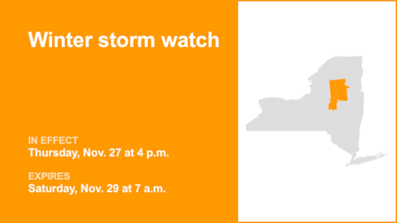
On Tuesday at 12:57 p.m. the National Weather Service issued a winter storm watch valid from Thursday 4 p.m. until Saturday 7 a.m. for Herkimer and Hamilton counties.
"Heavy lake effect snow possible. Total snow accumulations 7 inches or more possible in the most persistent lake effect bands. Winds could gust as high as 35 to 40 mph Thursday afternoon into Friday," comments the weather service. "Greatest accumulations will occur mainly north of Route 28 and west of Route 30."
"Visibilities may drop below 1/4 mile due to falling and blowing snow. Travel could be difficult. The hazardous conditions could impact the Thursday evening and Friday morning commutes," states the weather service. "Monitor the latest forecasts for updates on this situation. During lake effect snow, the weather can

 Lehigh Valley Live
 Lansing State Journal
 Brainerd Dispatch
 Newsweek Top
 Daily Voice
 CBS Minnesota News
 AccuWeather Severe Weather
 Raw Story
 New York Post Video
 The List