
 WWSB
WWSB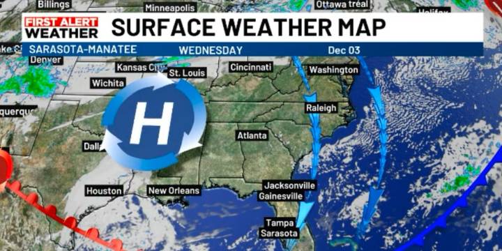
SARASOTA, Fla. (WWSB) - Today’s midweek forecast brings a noticeable cool-down, a quick warm-up, and then yet another front with possible showers as we head into the weekend.
A cold front will continue drifting south this morning. Ahead of it, expect a breezy northwest wind and some clouds to start the day.
During the day, high pressure builds in and shifts winds to the north. This will pull in cooler, drier air, so temperatures may feel cooler as the day goes on. Highs will be about five degrees lower than yesterday, in the mid-70s.
Thursday morning will be the coolest of the week, with lows in the 50s. By Thursday afternoon, however, temperatures rebound into the 80s under dry and quiet weather conditions.
As we move toward the weekend, another cold front is expected to approach. For

 New York Daily News Snyde
 Ocala Star-Banner
 Orlando Sentinel
 Sarasota Herald-Tribune
 First Coast Crime
 NBC 6 South Florida
 ClickOrlando
 IMDb TV