
 Echo Press
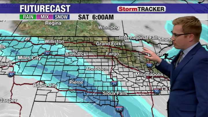
Another cold snap is moving into the region this weekend. As we go through Friday temperatures are at the warmest in the morning then decline right into the night. Overnight lows drop into the teens and even 20s below zero in North Dakota and northern Minnesota. The day itself Saturday is quiet with areas of sunshine return but that does little to help afternoon highs.
The only precipitation in the region will be the last of the snow exiting South Dakota. Behind the snow the frigid temperatures settle in fast.
There will also be a small breeze as well. While it won't be blustery, even this light wind will help create windchills well below zero.
Saturday night brings another round of bitterly cold temperatures below zero and Sunday doesn't improve by much for the afternoon. The one area

 ABC News
 ABC News Weather
 KOLR10 News
 KNOE
KNOE WAND TV
 KGNS
KGNS The Gazette
 NECN Providence
 K2 Radio Local
 CNN Politics