
 USA TODAY National
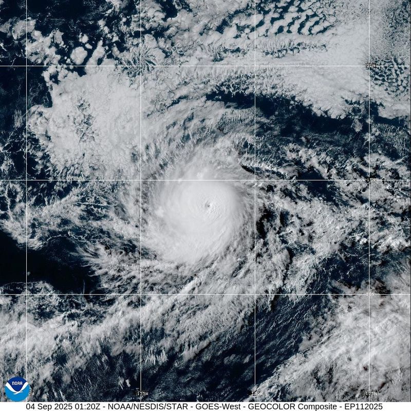
Editor's note: Follow USA TODAY's updates about Hurricane Kiko for Thursday, Sept. 4.
Two hurricanes are spinning in the Pacific Ocean, with Hurricane Kiko more than 1,500 miles east of Hawaii and Hurricane Lorena potentially set to cause flooding in northwestern Mexico.
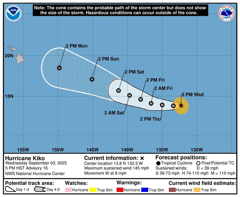
Kiko was centered about 1,560 miles east of Hilo, Hawaii, as of the 11 p.m. ET advisory from the National Hurricane Center on Sept. 3. Kiko had maximum sustained winds near 145 mph with higher gusts, making it a Category 4 hurricane on the Saffir-Simpson Hurricane Wind Scale.
Hurricane center forecasters said little further strengthening is expected. The storm is expected to move westward through Thursday, Sept. 4, and then begin a turn toward the west-northwest.
Hurricane-force winds extend outward up to 25 miles from the center of the storm, and tropical storm-force winds extend outward up to 80 miles.
At this point, the hurricane center is projecting no impacts to land over the next several days, but Kiko is forecast to remain a hurricane through at least Monday, Sept. 8.
Hawaii impacts expected next week
Impacts to Hawaii are expected to begin by the middle of next week, AccuWeather reported. Residents and visitors to the islands should expect flooding downpours that may lead to mudslides and gusty winds that cause power outages and strong surf.
"Kiko is forecast to intensify into a major hurricane later this week as it continues tracking west toward Hawaii," said Alex DaSilva, AccuWeather lead hurricane expert. "The storm is expected to lose wind intensity over the weekend. If Kiko continues advancing toward Hawaii, it could bring some wind and rain impacts to the islands next week.”
As of Sept. 3, there were no coastal watches or warnings in effect due to Kiko, according to the hurricane center.
Storm tracker: Tracking path of Hurricane Kiko
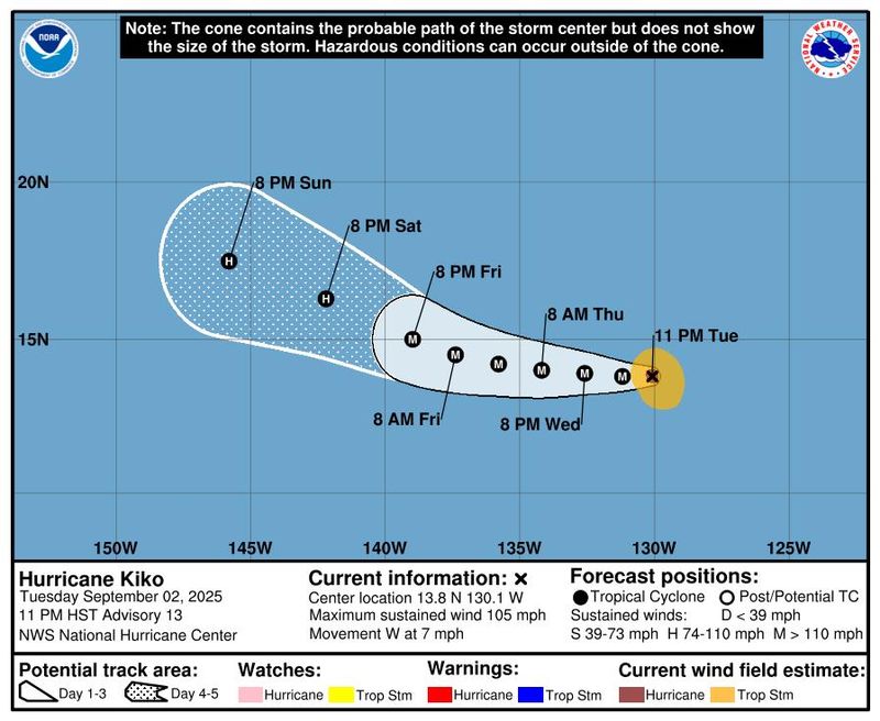
This forecast track shows the most likely path of the center of the storm. It does not illustrate the full width of the storm or its impacts, and the center of the storm is likely to travel outside the cone up to 33% of the time.
Hurricane Kiko spaghetti models
Illustrations include an array of forecast tools and models, and not all are created equal. The hurricane center uses only the top four or five highest-performing models to help make its forecasts.
Hurricane Lorena
The National Hurricane Center said in an early morning advisory on Sept. 3 that Lorena is located about 120 miles south-southwest of Cabo San Lucas, Mexico, with maximum sustained winds around 75 mph with higher gusts.
Hurricane center forecasters said rapid strengthening is forecast through the night of Sept. 3, with Lorena expected to rapidly weaken on Sept. 4 before weakening back to a tropical storm by Friday, Sept. 5. On the forecast track, the center of Lorena is expected to move parallel to the west coast of the Baja California Peninsula before approaching the coast Sept. 4 and Sept. 5.
NHC also tracking a tropical wave in the Atlantic
In the Atlantic, the hurricane center is keeping tabs on a tropical wave located over the eastern tropical Atlantic, a few hundred miles west-southwest of the Cabo Verde islands.
Forecasters said the wave continues to produce disorganized showers and thunderstorms, and that environmental conditions are conducive for gradual development of this system during the next several days. A tropical depression is likely to form late this week or this weekend, forecasters said in a Sept. 3 advisory.
The system is expected to move westward to west-northwestward around 15 mph across the eastern and central tropical Atlantic into early next week, with forecasters giving the system a 70% chance of formation through the next seven days.
Gabe Hauari is a national trending news reporter at USA TODAY. You can follow him on X @GabeHauari or email him at Gdhauari@gannett.com.
This article originally appeared on USA TODAY: Hurricane Kiko path tracker: See where the Category 4 storm is headed
Reporting by Gabe Hauari, Doyle Rice and Dinah Voyles Pulver, USA TODAY / USA TODAY
USA TODAY Network via Reuters Connect

 Columbia Daily Tribune
 America News
 Associated Press US News
 AccuWeather Severe Weather
 CBS News
 TownTimes news.com
 NBC News
 Reuters US Top
 Bloomberg Law
 The Daily Beast