
 WITN-TV
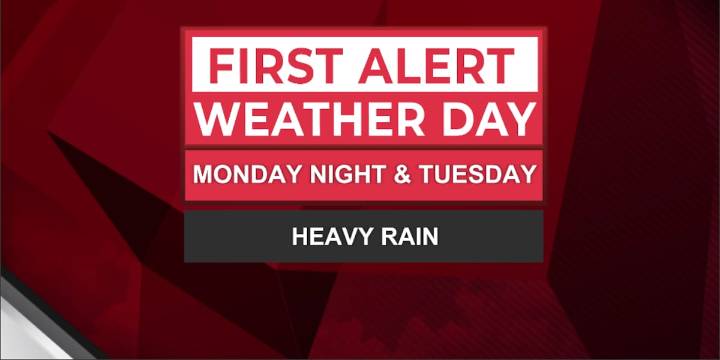
A slow-moving coastal low will inch towards the coast late Monday and bring heavy rain, gusty winds, and minor coastal flooding to our region through Tuesday. That’s why the WITN Weather Team has declared a First Alert Weather Day for Monday night into Tuesday.
Most of Monday will be breezy but manageable. Coastal areas will see scattered showers, while inland stays mostly dry under cloud cover. Winds begin to pick up in the afternoon, gusts 20–30 mph inland, 30–40 mph near the coast.
The most impactful period will be late Monday night and into Tuesday through midday. Heavy rain will move further inland with rainfall rates around 1–2 inches. Localized higher amounts up to 3″+ could fall where the rainbands stall.
Coastal winds remain strong with gusts of 35-45 mph, and the combination

 WCBI-TV
 News 8 WROC
 The Washington Post
 The Columbian
 WSIL-TV
 FOX Weather
 KETV NewsWatch 7
 Hawaii News Now
 21Alive News
 Raw Story