
 News Channel 36
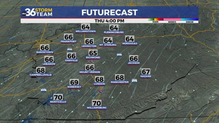
Early morning lows will be chilly with low to mid-40s on tap We saw quite the rain event Tuesday along the I-64 corridor with solid 4″ to 5″ totals from the Bluegrass Region back to the west as moderate to heavy rain fell the majority of the day. Lexington saw its wettest October day on record with 4.74″ of rain, which definitely took care of the dry to drought conditions we’ve seen the last month or so. The cold front responsible for all the rain moved out of the commonwealth Wednesday, allowing for some sunshine to slowly return to the region along with cooler air. A brisk northeast wind at 10 to 15 miles per hour brought the long awaited “fall-like” feel to the air as afternoon highs struggled to reach the upper 60s to around 70 degrees despite the sunshine.
Heading into Thursday it s

 People Crime
 Greensboro News and Record
 WCCB Charlotte Crime
 WCNC Charlotte Crime
 FOX Carolina
 WFMY News 2 Crime
 Charlotte NC
 Salisbury Post
 Florida Today
 Mashable Entertainment