
 KING 5 News
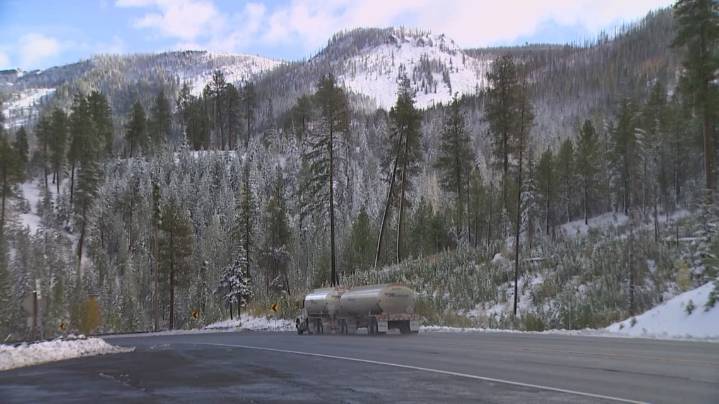
SEATTLE — Fall is in full swing and with it will come more mountain snow this weekend.
A strong cold front is expected to plow through western Washington on Saturday dumping rain in the lowlands and snow for the mountains and higher passes again.
Snow levels will start near 7,000-8,000 feet on Saturday and drop to 4,000 feet during the afternoon on Sunday.
This shouldn’t have any impact on Snoqualmie Pass, which is at 3,022 feet of elevation. But some snow may stick on the road at Stevens Pass (4,061 feet) with more likely accumulation on the North Cascades Highway and Chinook Pass on state Route 410, which are both above 5,000 feet.
Weather models are not in agreement just yet as to how much snow could fall this time around, but another few inches at least can be expected. The highe

 KUOW Public Radio
 FOX 13 Seattle Crime
 The Columbian
 FOX 13 Seattle King County
 The Seattle Times
 MyNorthwest
 America News