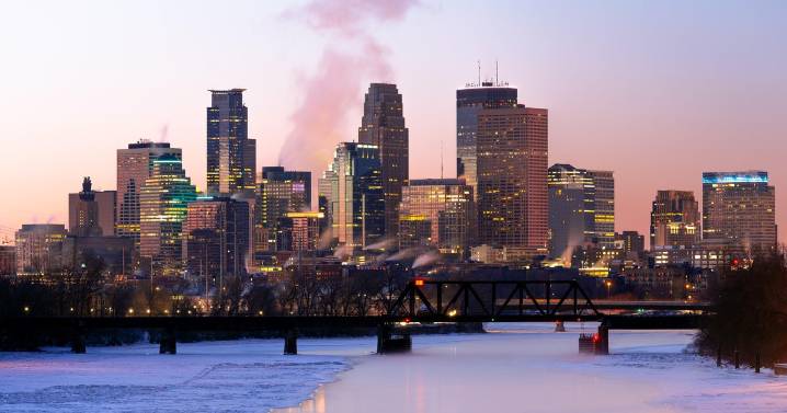
After light snow tapers off Monday morning, a noticeable warm-up will take over in the Twin Cities.
The snow will wrap up by mid-morning, leaving a coating behind. Highs will climb to the upper 20s.
Monday afternoon will bring another weak wave, mainly brushing central Minnesota with light, fresh snow.
Tuesday will see a stronger clipper moving along the Interstate 94 corridor and creating a split between snow north and a mix to the south.
Tuesday night will turn colder, with snow continuing north of the metro.
Wednesday through the weekend looks quieter but much colder, with single-digit highs returning Friday and Saturday and subzero nights likely.
In:
NEXT Weather

 CBS Minnesota News

 Local News in Illinois
 America News
 1011 Now Lincoln
 WCBI-TV
 The Seattle Times
 KSNB Local4 Central Nebraska
 Hawaii News Now
 WWSB
WWSB NBC12
NBC12 @MSNBC Video