
 KOMU 8
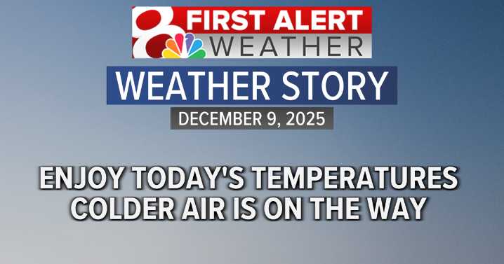
Next 24 hours
After a chilly start to Tuesday, winds from the SW will gradually gain momentum throughout the day, prompting temperatures to warm into the middle 50s. This would make today the warmest of the week. It will also be partly cloudy for most of the day, but by the evening and especially into the nighttime hours, cloud coverage will become more widespread.
With a mostly cloudy sky expected for tonight, along with a westerly wind, low temperatures will be on the milder side, most forecasted to be in the low 40s to upper 30s. There is a slight (20%) chance of a few isolated sprinkles and a few flurries overnight, as a cold front will be sneaking on by.
After a cold front moves through early Wednesday morning, winds will quickly swing out to the NW, sustaining at 15-25 mph, with p

 Bring Me The News
 West Kentucky Star
 KSNB Local4 Central Nebraska
 WCNC Charlotte
 CBS Philly
 WWSB
WWSB KOLO8
KOLO8 Dickson County Source
 WNNY-TV
 Raw Story