
 21Alive News
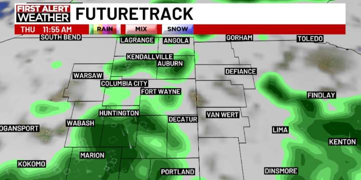
FORT WAYNE, Ind. (WPTA) - After a record cold night (42º, breaking the old record of 45º set back in 1910) temperatures soared into the mid 70s this afternoon! Nothing like weather that requires a jacket in the morning and a t-shirt in the afternoon :)
A cold front will sweep through overnight into Thursday morning, increasing cloud cover and rain showers across the area. Forecast models have backed off on the intensity of any one shower, meaning a widespread 0.15″ is 0.25″ is more likely than widespread amounts of 0.50″+. Highs should rise into the low (maybe even mid) 70s toward the end of the afternoon as clearing arrives.
Beyond the cold front, highs will fall into the low 70s Friday with overnight lows back into the mid 40s overnight into Saturday morning! Sunday will be warmer, tho

 The Times of Northwest Indiana Crime
 The Journal Gazette
 IndyStar
 The Times of Northwest Indiana Local
 NewsTalk 1280
 WTWO TV News
 IMDb TV
 FOX News Travel