
 WSMV 4 Nashville
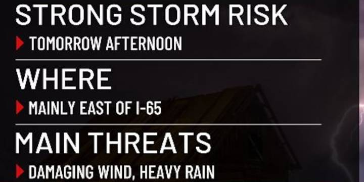
NASHVILLE, Tenn. (WSMV) -A First Alert Weather Day is in effect for Thursday afternoon due to the risk of a couple of strong storms in the Midstate
FIRST ALERT WEATHER DAY
We have the risk for a couple of strong thunderstorms tomorrow afternoon, mainly east of I-65 out in the Cumberland Plateau. The overall severe threat is low, just a 1 out of 5 on the threat scale, but any thunderstorm could produce heavy rain and high wind gusts. There is not threat for tornadoes or large hail. The most likely window for strong thunderstorms will be between noon and 5pm tomorrow .
Here are instructions on how to watch WSMV4 live on various platforms.

 Axios
Axios Daily Herald Sports
 The Daily Beast
 FOX News Politics