
 WEVV 44News
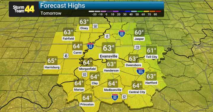
After a warm day, there's a low-end risk for severe thunderstorms developing this afternoon and into the evening. The primary concerns we're watching for in these storms include damaging wind gusts, the possibility of a weak tornado, frequent lightning, and, of course, those heavy downpours. We'll be keeping a very close eye on the radar as these systems move through the region.
Behind the storms, a cold front is expected to sweep through late tonight and into tomorrow. Behind this front, we anticipate a noticeable shift in temperatures. We're forecasting cooler, more seasonable conditions that should settle in and stick around through much of next week and the following weekend. The pattern looks to turn more active overall although the next several days look quiet.

 America News
 New York Post
 KIMT News 3
 KSNB Local4 Central Nebraska
 KKTV 11 News
 WCPO 9
 Hawaii News Now
 KTAL-TV
 Santa Maria Times Local
 AlterNet