
 KDKA
KDKA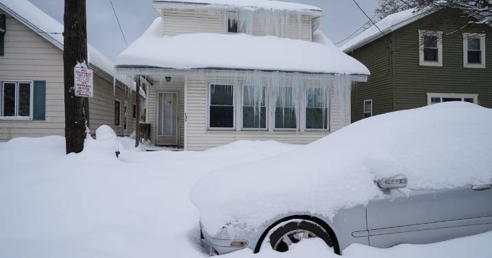
A strong low pressure has parked itself over Ontario, Canada, this week.
This low pressure has occluded, which means it has stopped intensifying and feeding off of low-level warm air from its warm sector and has become stacked with a counterclockwise swirling mass of colder air aloft in the atmosphere. The colder air aloft under the low plus a flow of colder air from higher latitudes in Canada has resulted in our first widespread lake-enhanced precipitation event of the season.
Temperatures are too warm in the lowest levels of the atmosphere to support a lake-effect snow event, so this is predominantly all rain. However, this week's event does prompt us to look at current lake conditions, what may be on the way for this winter, and the future trend of lake-effect snow with respect to a r

 CNN
CNN FOX News Videos
 FOX News
 The Daily Bonnet
 Just Jared
 Verywell Health
 America News
 AlterNet