
 Action News Now
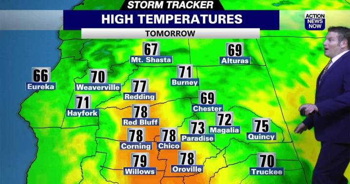
WHAT WE’RE TRACKING:
Storms producing rain, clouds and wind move into the area early next week with temperatures dropping as well.
PLANNING YOUR NEXT 24 HOURS:
Sunny and warm (Calm)
EXTENDED FORECAST:
This beautiful weather pattern should last through Monday. Early next week the dry winds out of the north will switch to an ocean flow out of the south and west. Storms will move into the area on Tuesday and Wednesday increasing clouds, winds and rain chances with a slight cool down as well. The best rain chances will be over the Coastal Range, north in the area as well as the rest of the higher elevations. The valley could see 1" of rain from Tuesday through Thursday with 1-4" of snow in the mountains (>7,000 feet). The showers will cool the area down but temperatures should remain

 WITN-TV
 Northern News Now
 WHAS 11
 KNOE
KNOE Battle Creek Enquirer
 KSNB Local4 Central Nebraska
 KTVU San Francisco
 Courier Journal
 The Bay City Times
 WILX News 10
 Fast Company Technology