
 WKYC Cleveland
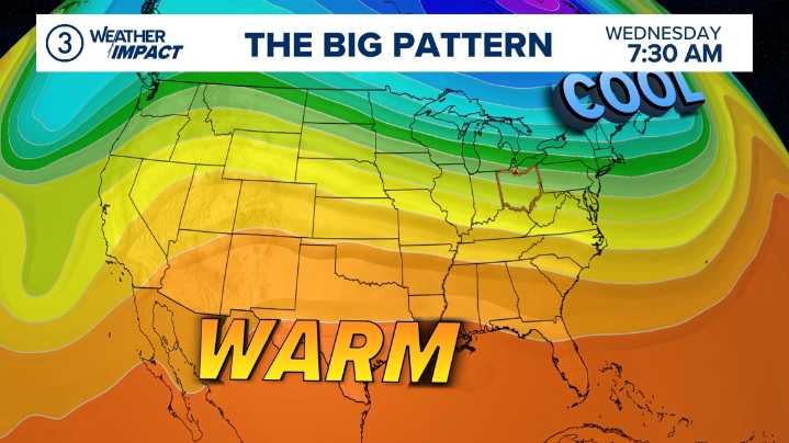
CLEVELAND — Northeast Ohio’s weather this week is a textbook example of how the upper-level jet stream can flip the switch between quick-moving rain showers and prolonged bouts of wintry weather.
This week's forecast shows a fast-moving rain chance Friday, followed by a slow, colder system into early next week. All of this comes down to whether the flow above us is zonal or meridional .
In a zonal flow, the jet stream — a ribbon of fast-moving air about 30,000 feet above Earth — stays mostly flat. This setup blows west to east in a straight path across the country. This type of pattern acts like a conveyor belt, pushing weather systems swiftly along. When zonal flow dominates, storms do not stick around longer. That’s what Northeast Ohio will experience on Friday, when a brief roun

 FOX19 NOW
 Cleveland Jewish News
 AlterNet
 The Babylon Bee
 Raw Story
 ABC30 Fresno Sports
 The Daily Beast
 Deadline
 The Daily Mining Gazette Sports