
 13 On Your Side
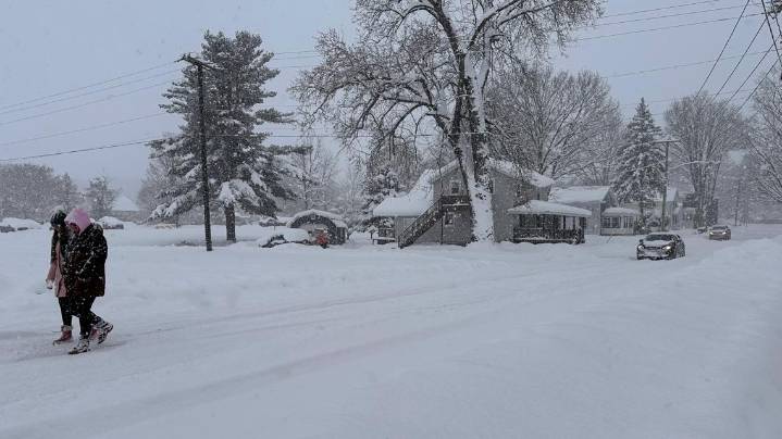
CLEVELAND — In the late 1800s, meteorologists started noticing something very interesting along the Great Lakes in Winter. Cities like Buffalo, Cleveland, and Erie, PA were getting buried under massive amounts of snow while nearby towns weren’t getting any.
These weather experts were the first to uncover the mystery called "lake effect snow.” But it wasn’t until the mid-20th century that weather radar and improved forecasting tools helped scientists fully identify how cold air passing over warmer lake waters could generate such intense, localized snowstorms.
Today, lake effect snow remains one of the most fascinating and challenging weather phenomena to predict.
Lake effect snow begins with a simple but powerful combination of cold, dry air blowing across a relatively warm body of water

 WYFF Greenvile
 Shore News Network
 WITN-TV
 WBTV Mecklenburg County
 The Gaston Gazette
 Kinston Free Press
 News Channel 36
 Charlotte NC
 ABC11 WTVD
 Asheville Citizen Times
 Nola Entertainment