
 WLFI News 18
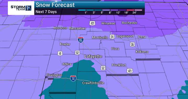
Looking ahead to tonight and Sunday morning, we are monitoring the possibility of some very light precipitation, specifically flurries or perhaps a touch of freezing drizzle. While we don't anticipate significant accumulation, it’s something we will closely watch, especially for any travel impacts during the early morning hours.
As we head into Sunday afternoon, a shift is expected. Skies will likely remain cloudy, but we anticipate temperatures holding steady in the mid 30s. We’ll continue to monitor atmospheric conditions as a system begins to approach, bringing increased chances for rain late Monday night and into Tuesday.
By Tuesday night and Wednesday, expect these rain chances to become more widespread, with light snow potentially mixing in, especially as temperatures cool. A trans

 21Alive News
 NBC12
NBC12 Local News in Illinois
 1011 Now Lincoln
 America News
 WCBI-TV
 The Seattle Times
 Hawaii News Now
 WWSB
WWSB WKYT
WKYT Raw Story