
 WITN-TV
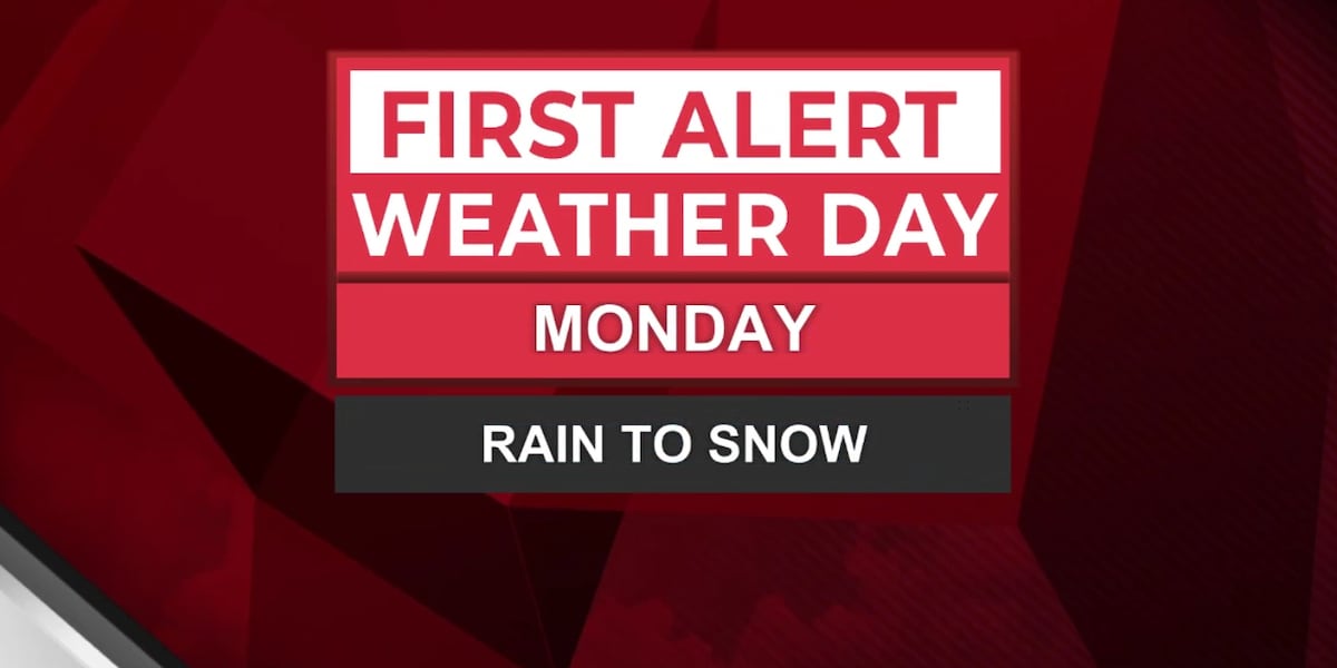
Monday is a First Alert Weather Day as rain is expected to switch to snow through the afternoon.
Our first snow map of the season! This system will be quick and light, but much better odds of seeing snow than Friday. 1-9 PM is the best chance for snow!
Temperatures will once again work against us as most stay above freezing as rain switches to snow through the afternoon. Sleet may mix in at times. Morning commute is fine, afternoon/evening could be messy in some counties. Snow will stick on elevated surfaces first, and windy conditions may keep it from visually accumulating.
The best chance for road issues will be in heavy bursts and after sunset as temperatures drop.
Stay tuned to the WITN First Alert Weather App for updates and local town forecasts as we track another light wintry

 Local News in Illinois
 1011 Now Lincoln
 America News
 WCBI-TV
 The Seattle Times
 Hawaii News Now
 WWSB
WWSB WKYT
WKYT NBC12
NBC12