
 The Bay City Times
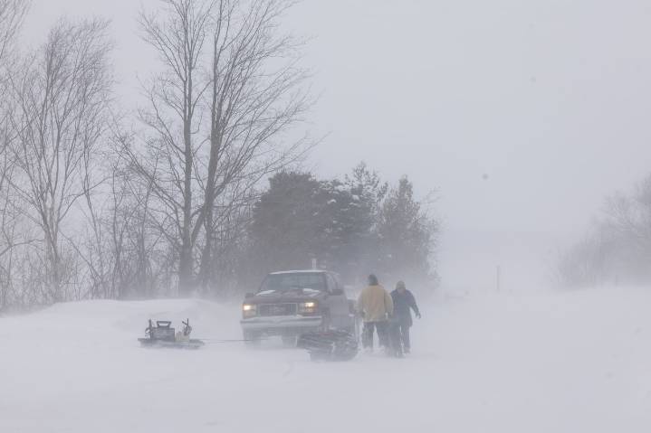
The weekend’s first significant lake-effect snow system is stacking up a lot more snow in some areas than initially forecast.
And it’s not over yet. Some areas of the state will see lingering lake-effect and blustery winds today. This will make for some low visibility and dicey travel in some areas.
Here are the forecast highlights from the National Weather Service offices across the state:
Multiple rounds of lake effect snow will impact parts of Michigan through early Tuesday morning, creating dangerous travel conditions, especially along the I-94 corridor where winter storm warnings remain in effect. The heaviest snow is expected through early Monday morning.
Winter storm warnings are active for portions of Michigan’s Upper Peninsula including Marquette and Alger counties, where an a

 Detroit News
 Ann Arbor News
 WSIL-TV
 WBRC
WBRC CNN Climate
 NBC News
 KNOE
KNOE FOX Weather
 Hawaii News Now
 KOLO8
KOLO8 21Alive News
 FOX19 NOW Sports