
 cleveland.com
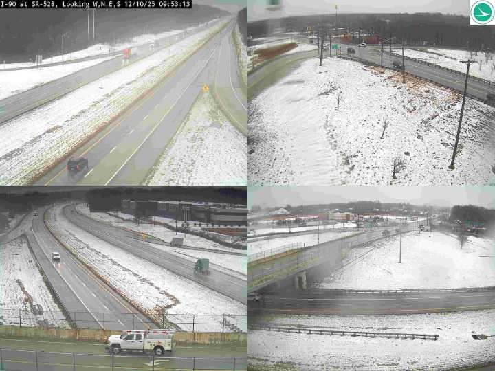
CLEVELAND, Ohio — A messy mix of snow, rain and falling temperatures will make for difficult travel across Northeast Ohio Wednesday at times, with lake-effect snow lingering into Thursday in the primary snowbelt.
Much of the region will see the morning slushy mix change to mainly rain through midday, especially west of Interstate 71. But forecasters expect conditions to worsen again later in the day as a cold front moves in.
That cold front, which is expected to sweep across the region Wednesday afternoon and evening, will flip any lingering rain back to snow as temperatures drop quickly. Most areas will see an inch or less with the frontal passage, but the rapid fall in temperatures could create slick spots and patches of black ice for the evening commute.
Southwest winds may gust up t

 WKYC Cleveland
 Cleveland 19 News Crime
 Akron Beacon Journal
 The Daily Beast
 The Week Politics